

d8alterego
-
Posts
373 -
Joined
-
Last visited
-
Days Won
1
Content Type
Profiles
Forums
Gallery
Project Database
User Guide
Store
Events
Posts posted by d8alterego
-
-
3 hours ago, Khorasaurus1 said:
I'm pretty positive that using the existing rail corridor would be a lot cheaper than $100 million per mile. But since it's a freight rail corridor, it does come with its own set of difficulties in constructing and operating passenger rail. I also agree with the comments that that line, while convenient for the airport and downtown, doesn't hit a lot of major destinations in between.
I think we're more likely to see the airport as the terminus of the third BRT line in the system, though it won't be very "rapid" on corridors like Lake Drive. But an upgraded express bus line with these stations would be pretty useful:
- Rapid Central Station
- Monroe/Louis (existing)
- DeVos Place (existing)
- Medical Mile (existing)
- GRCC/Spectrum (existing)
- Fulton Street (existing)
- Heritage Hill (Fulton/College)
- Eastern Avenue
- East Hills (Lake/Diamond)
- Eastown (Lake/Atlas)
- Blodgett Hospital (Lake/Plymouth)
- Gaslight Village (Lake/Bagley)
- Hall Street
- Breton Village (Breton/Burton)
- Calvin University (Burton/Raybrook)
- Woodland Mall
- Centerpointe Mall
- East Paris Avenue
- Waterfall Shoppes
- Cascade Meijer
- 36th Street
- Ford Airport
A BRT line with that many station stops and traffic signals (even if given signal priority) would probably not entice the flying public who want an express mode of transit to and from the airport (Rail = 5 or 7 stops to BRT = 22 stops).
-
 2
2
-
2 hours ago, joeDowntown said:
Sorry to burst bubbles, but I neither see it happening, nor see where the state would have an appetite to even think about fund anything like it. The Q-Line in Detroit would be brought up in the same breath the second anyone pitched it: $145M to build / $85M in subsidies to help support it for the next 17 years. Daily ridership: 2500.
I just don't see this happening, even though people get excited about it year after year.
I'd be interested to see if any see of comparable size (or larger) has successfully added this type of transit in the last 10-15 years, and had success (success to me is self-sustaining from a budget standpoint, with high ridership that has significantly changed people's transportation habits). If anyone knows of an article/case study, I'd love to see it.
")
Joe
You make a good point regarding the ridership of the Q line, but the Q line does not terminate at the airport nor would this airport line interact with street traffic. I can see locals and flying travelers using this line more frequently.
Also, has any transit line in America been self sustaining? High ridership successes? Yes. Cost effective? I don't believe any are. Return on investment? Depends on studies and planning.
-
1
-
-
6 hours ago, GR8scott said:
$100 million / mile seems like it would be if there was no existing infrastructure? In this case utilizing existing and not heavily used lines could be much more cost effective? Its too bad its mostly lined with industrial and lower density residential as if it went through commercial and higher density areas to the north such eastown, egr, calvin, woodland ect seems like a no brainer for light rail even at a higher cost where as this seems more like a commuter rail kind of service which might not be a bad idea to pair with another commuter line envisioned to the west through Grandville-Jenison-Hudsonville-Zeeland-Holland? Commuter rail would have less stops but more park and ride type stations, maybe something like this? With stations at Division, Burton, and E. Beltline?

I agree that there are large industrial areas now but I can see a lot of redevelopment into residential and commercial uses in future decades. The moment a station on an airport light rail line opens, developers take notice. I can see the line having anywhere between 5-7 stops total which should make it attractive to ride and quick enough to get from city center to the airport.
-
14 hours ago, Zads said:
Love this. Put this in the City Master Plan meetings. There are three this week. Dream big.
https://www.grandrapidsmi.gov/Government/Programs-and-Initiatives/Community-Master-Plan-Updates
Since I no longer live in Grand Rapids, nor Michigan, I'm not sure I'm the one to do so. However I still love GR so much that I follow this UP channel.
-
2
-
-
44 minutes ago, StreetcarGR said:
It just makes too much sense! I find myself wondering what the cost of something like this would be. Expensive sure but a $100 million interchange is as well. Something like this would have the potential (as you pointed out) to grow our city in a less car-dependent way, which I think would be a great step forward for our city and help us scale up for the future sustainably.
According to Bloomberg it costs, on average for light rail, above $100 million per mile.
The potential 10 mile rail line I drew, even though it utilizes an existing rail corridor, would cost somewhere around $1 billion.
But this line would not travel through rural areas waiting to be developed. The density is already there to immediately benefit those areas. The redevelopment potential, in my opinion, would bring in far more than $1 billion in residential and commercial property taxes over the years.
-
On 2/17/2023 at 9:29 AM, BLUESCRUBS said:
Airport direct road access study....
https://www.woodtv.com/news/kent-county/community-leaders-meet-to-improve-ford-airport-access/
As much of a fantasy as this may be, how about a rail system?
I could see a lot of development/growth at stations along the route; especially along the 28th Street corridor.
-
1
-
-
-
3
-
-
-
1
-
-
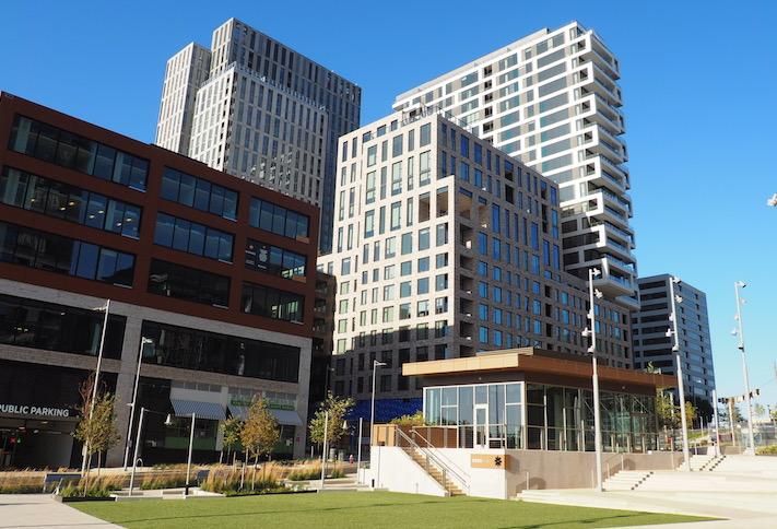
"The Corner" development is now open. Curbed Detroit

-
-
1
-
-
If it was torn down, I wish the city would buy it and turn it into a park. While I am sure that option would not be cheap, more people would be able to enjoy that view.
-
2
-
-
Silver Spring Purple Line construction:
-
2
-
-
18 hours ago, kevin8gr said:
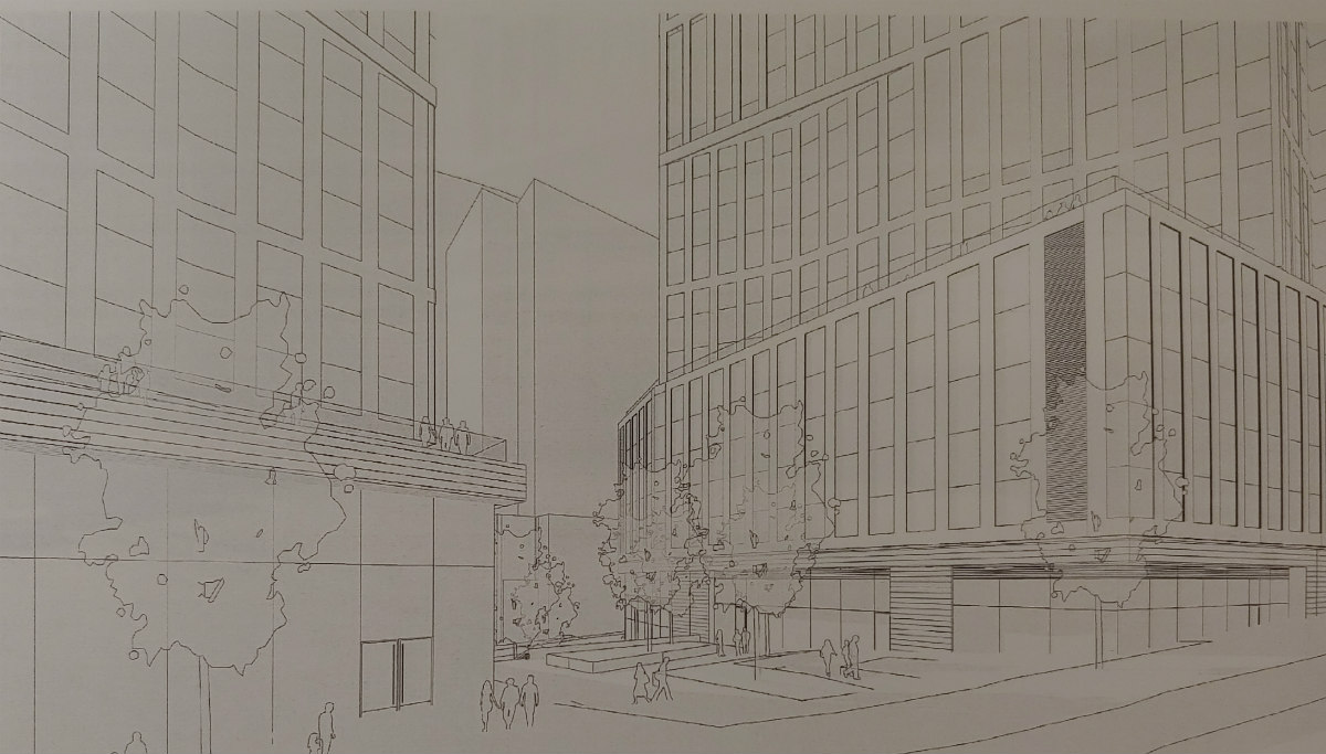
Progress on Studio Park
Do we know if the theater will have eye popping signage or does the billboard law (mentioned earlier) also effect the front of the theater?
For instance, a version of this:
-
Hello West Michiganians. It has been a very long time since I last commented on the GR UP forum but I have stopped by on occasion to catch up on new developments. I am very proud of GR and I miss living there. However I recently read an article by CityLab that confused me:
"To provide context, we do a rough comparison of these 50 cities to America’s 53 large metros (with more than 1 million people). We exclude two metros, Charlotte and Grand Rapids, Michigan, because they experienced significant boundary changes that would have affected their results; that leaves a comparison group of 51."
I'm curious as to how the Grand Rapid's city boundary changed. Was land annexed recently by the city?
-
"The redevelopment of the Landmark Mall, a mostly shuttered shopping mall in Alexandria, is moving through the entitlement process, and owner Howard Hughes is unveiling new details about the first phase. The Howard Hughes Corp. Senior Vice President Mark Bulmash tells Bisnow the developer is planning a 1.5M SF to 2M SF Phase 1 with a potential mix of residential, retail, hotel, office and other public facilities."
-
2
-
-
-
"The Fairfax County Board of Supervisors signed off this week on a $372 million project to widen a 3.1-mile stretch of Richmond Highway between Jeff Todd Way and Sherwood Hall Lane.
The project aims to increase capacity along the busy stretch of roadway south of where Metro’s Yellow Line ends at Huntington by widening the roadway from four to six lanes and reversing the median for a future bus rapid transit system."
-
"Executives from nonprofit Institute for Defense Analyses Inc. joined Alexandria officials Tuesday to break ground on IDA’s new Potomac Yard headquarters... The 370,000-square-foot structure is expected to open early 2022."
-
Finalized renderings of the infill Metro rail station at Potomac Yards in Alexandria. Estimated completion by "early 2022."
-
2
-
-
Looks like two 30 story towers are planned for Rosslyn.
-
1
-
-
Silver Line opening date (tentative): July 2020.
It is 8 months behind schedule.
-
Silver Spring, MD Purple Line construction as of August 2019.
-
1
-
-
Apparently the new Virginia Ave. CSX tunnel is allowing more freight trains but causing commuter rail backups. Washington Post
Nonstop weekday Amtrak service between DC and NYC. Washington Post
-
idroveazamboni, I'm assuming you lived in Silver Spring back in the day before being, now, in Huntington? I work in Silver Spring and live in Huntington. The commute isn't bad as long as metro is working. I recognize the view from your balcony.
Updated pic of Purple Line construction at the Silver Spring transit center.
-
1
-


/cdn.vox-cdn.com/uploads/chorus_image/image/65325678/nali_corner_ribboncutting_10.0.jpg)


Grand Rapids Airport (GRR) News and Developments
in Grand Rapids
Posted
That's why I believe such a "downtown GR to airport" line could work.
A new rail line that travels through undeveloped land serves no one once it is opened (ie the Denver airport line). The difference is that this line would travel through existing neighborhoods along an existing rail line. Feeder bus routes could collect riders and drop them off at stations along the route adding more local riders besides flying travelers. GR has never had that level of transit interconnectivity with rail and bus systems. Plus high density redevelopment potential is there in warehouse and commercial districts toward the airport. Can we imagine a 28th street corridor with 5 over 1 residential structures (or greater density) and walkable neighborhoods? While future ridership and development projections should of course be studied, I've seen the success of transit oriented development first hand.
Also, I believe this would be a 10 mile rail line compared to a 18+ mile line from Detroit to DTW. Thus I would think it would be cheaper and more attractive for Lansing to support it.